

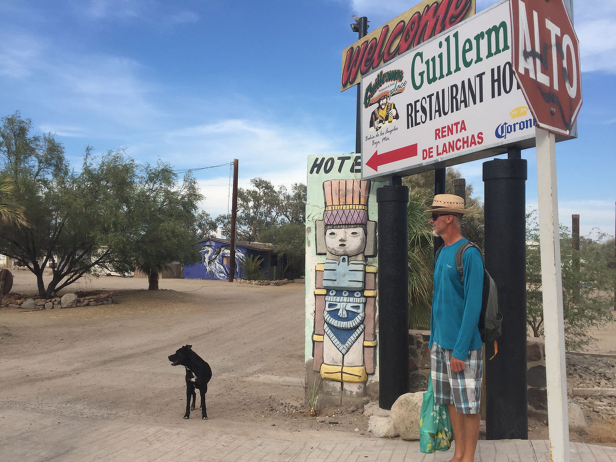


Bahia de Los Angeles Village
The Hub of BdLA Life
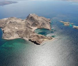
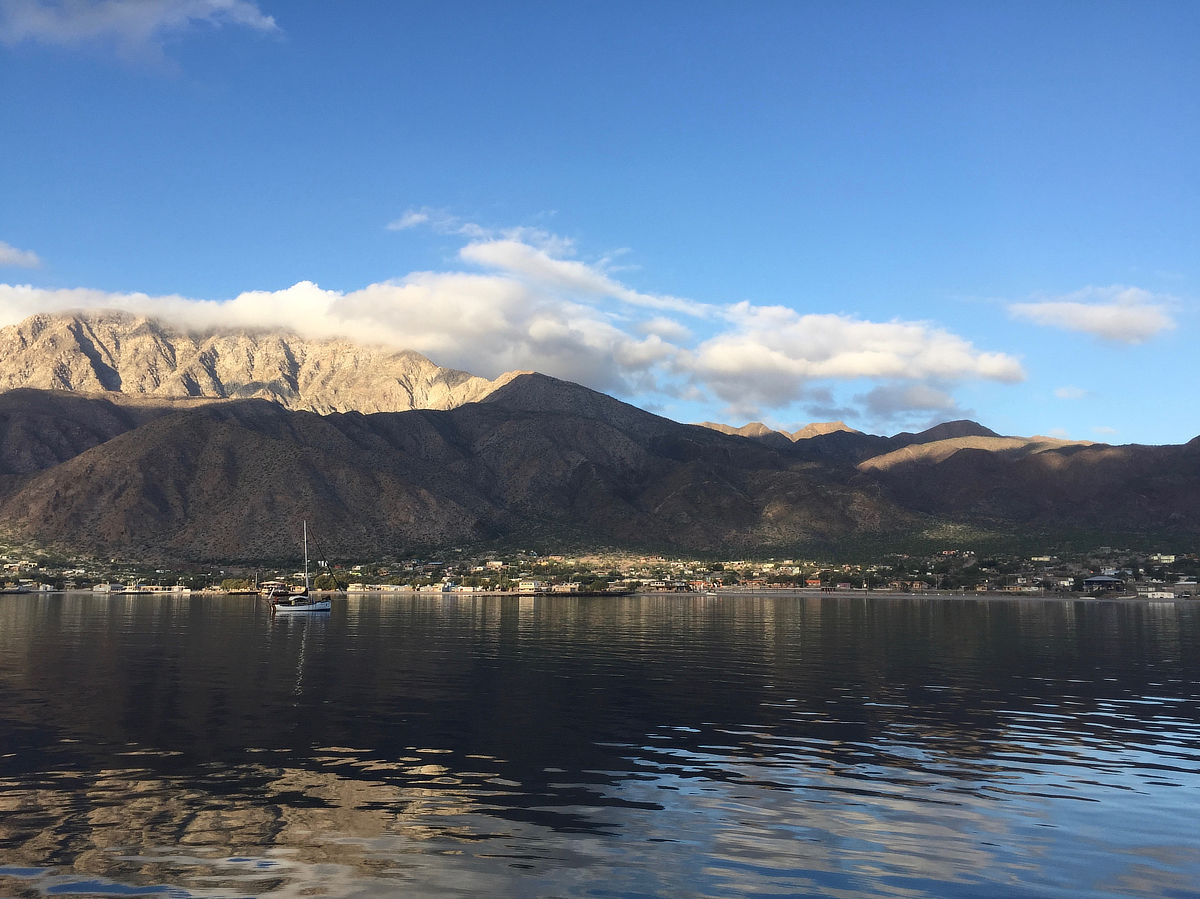
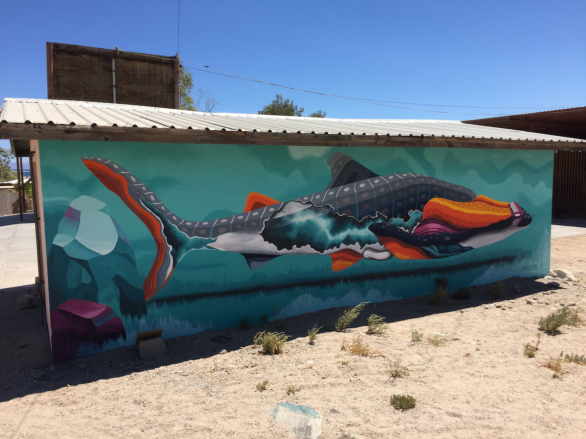
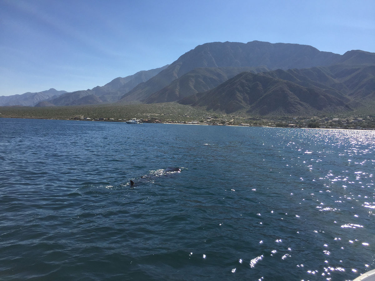
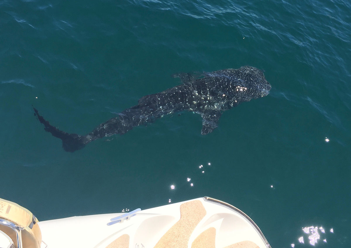
Bahia de Los Angeles is a sport fishing community that has been welcoming cruisers hiding from tropical storm season for decades. It’s a dusty, scrappy little town, but you’ll probably come to love it as much as most of us seem to. Post covid there is a surprising amount of entrepreneurial activity, with new restaurants blooming in particular, and seeming to thrive. North of Santa Rosalia this is the first place where you can really reprovision, with two main grocery stores and a handful of smaller tiendas. A meal off the boat will likely be a welcome break for the chef as well. The large bay has good protection from west, north and east (but is open to south and SE), with room for everyone. It’s also one of the most likely places for you to see whale sharks in season, and it’s not uncommon to have 5 or more cruising the bay at a time. Keep a watchful eye on approach and keep your speed under control.
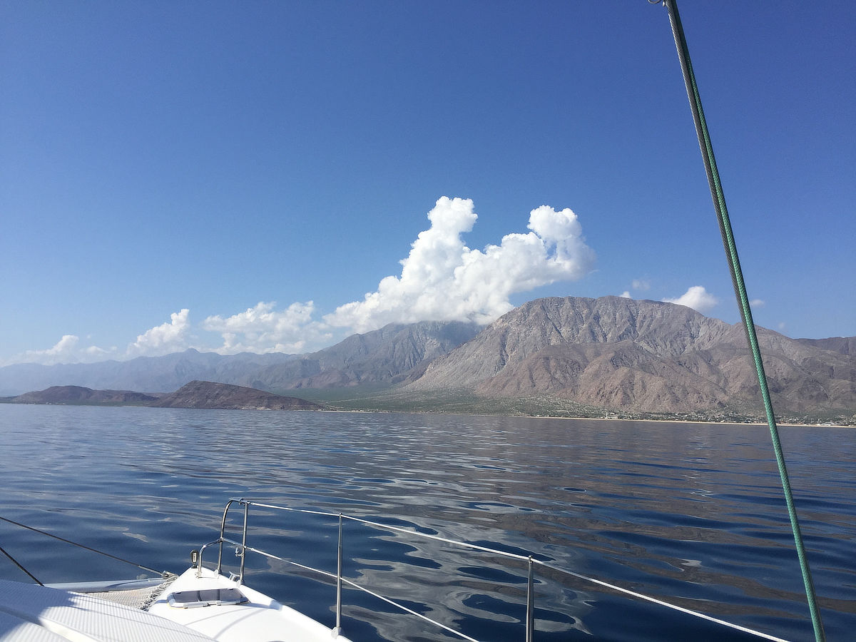
Approach:
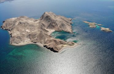
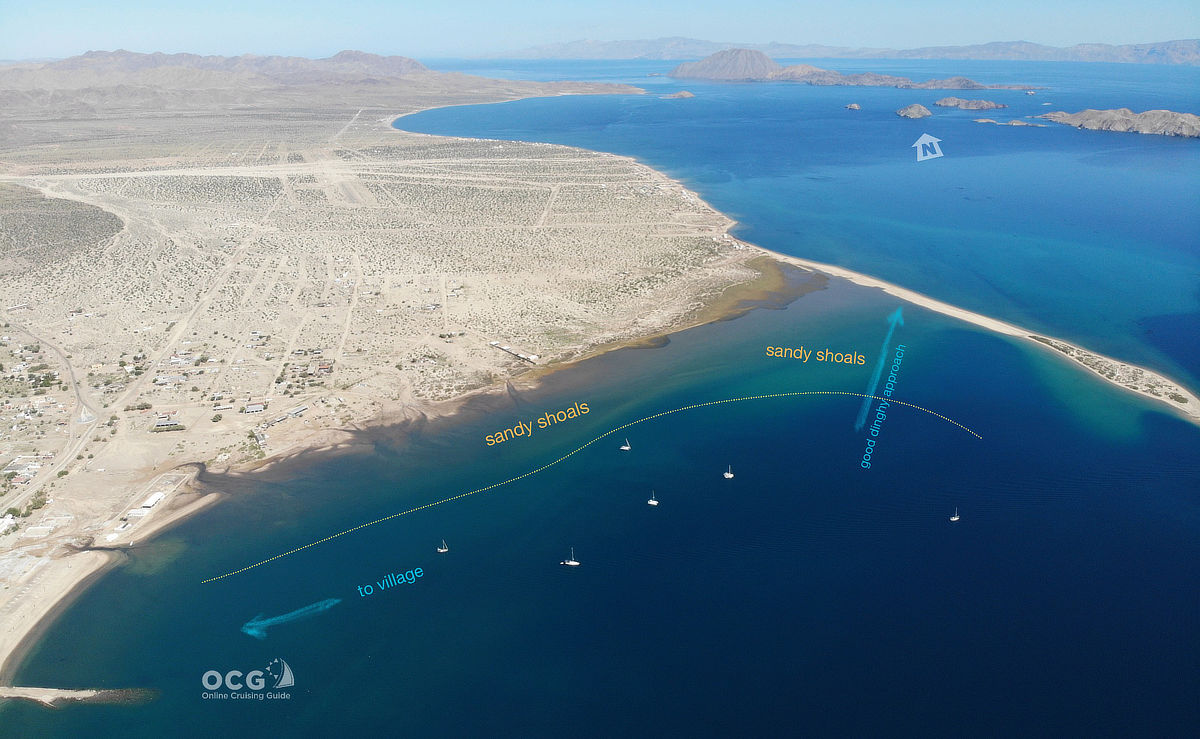
Approaching from the channel to the east (you can pass either north or south of the two small islets (Los Gamelitos) mid-channel, or just to the north of Isla Cabeza de Caballo (Horse Head) island (Stay away from the south side of Isla La Ventana, and in fact, stay clear of that entire half of the space between it and Cabeza de Caballo. After that, all you need to do is round the end of the sand spit (Punta Arena) and choose your location.
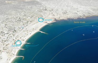
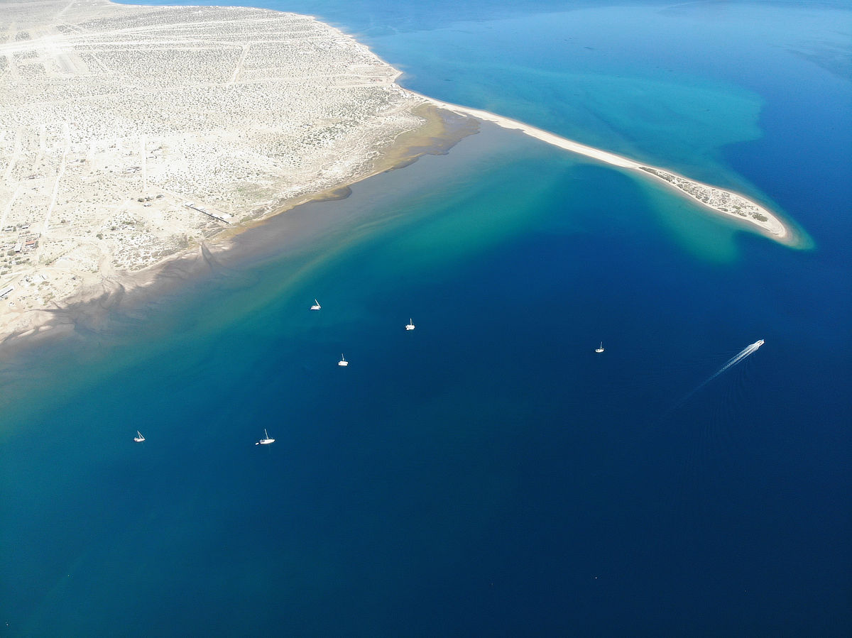
If approaching from north, there is a large area of sandy shoals and small rock bands that projects at least 1/4 mile to the east nearly the entire length of the sand spit. This can catch people unaware, and they suddenly find their depth alarm going off. Make sure to give this area room as you approach the spit.
NOTE: This low sand spit can be difficult to spot against the village behind it when viewed from a distance. The lighthouse DOES NOT mark the end of Punta Arena but rather sits 200 yards or so to the north of the tip. Most charting programs show this landform accurately.
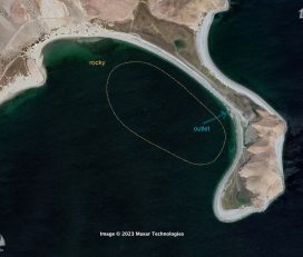
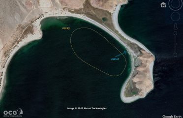
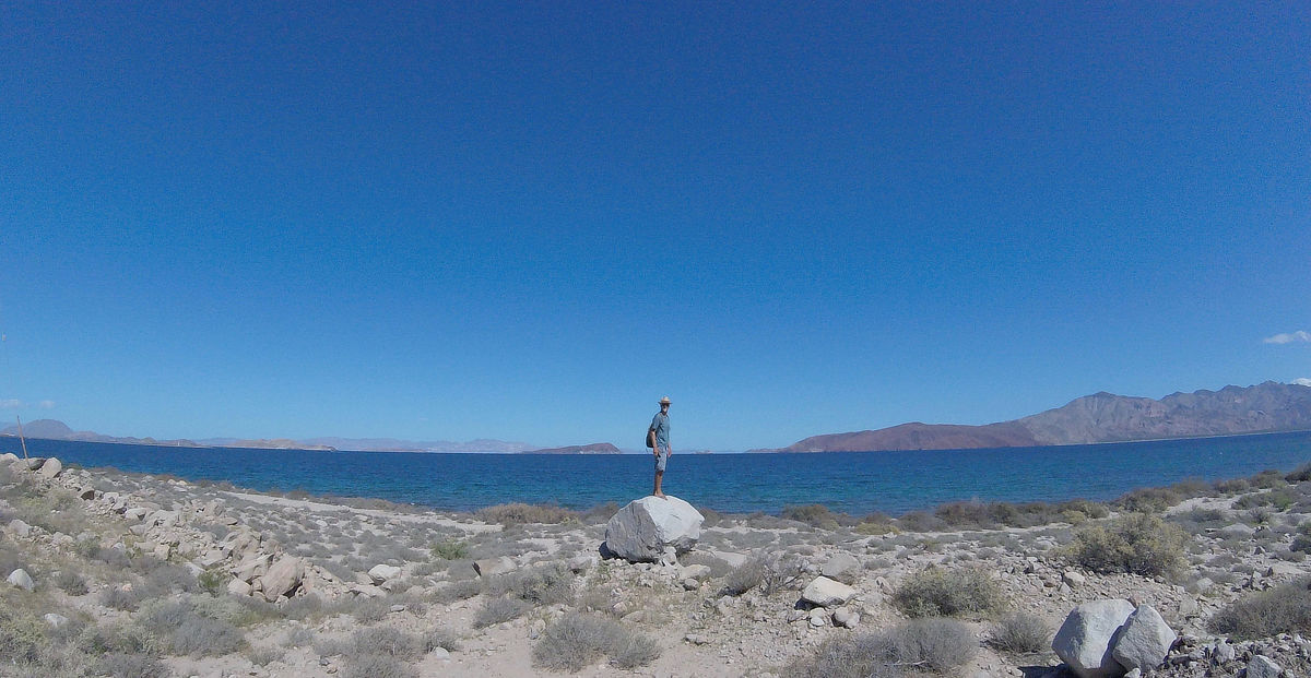
Anchoring:
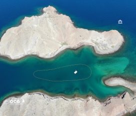
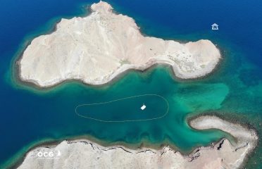
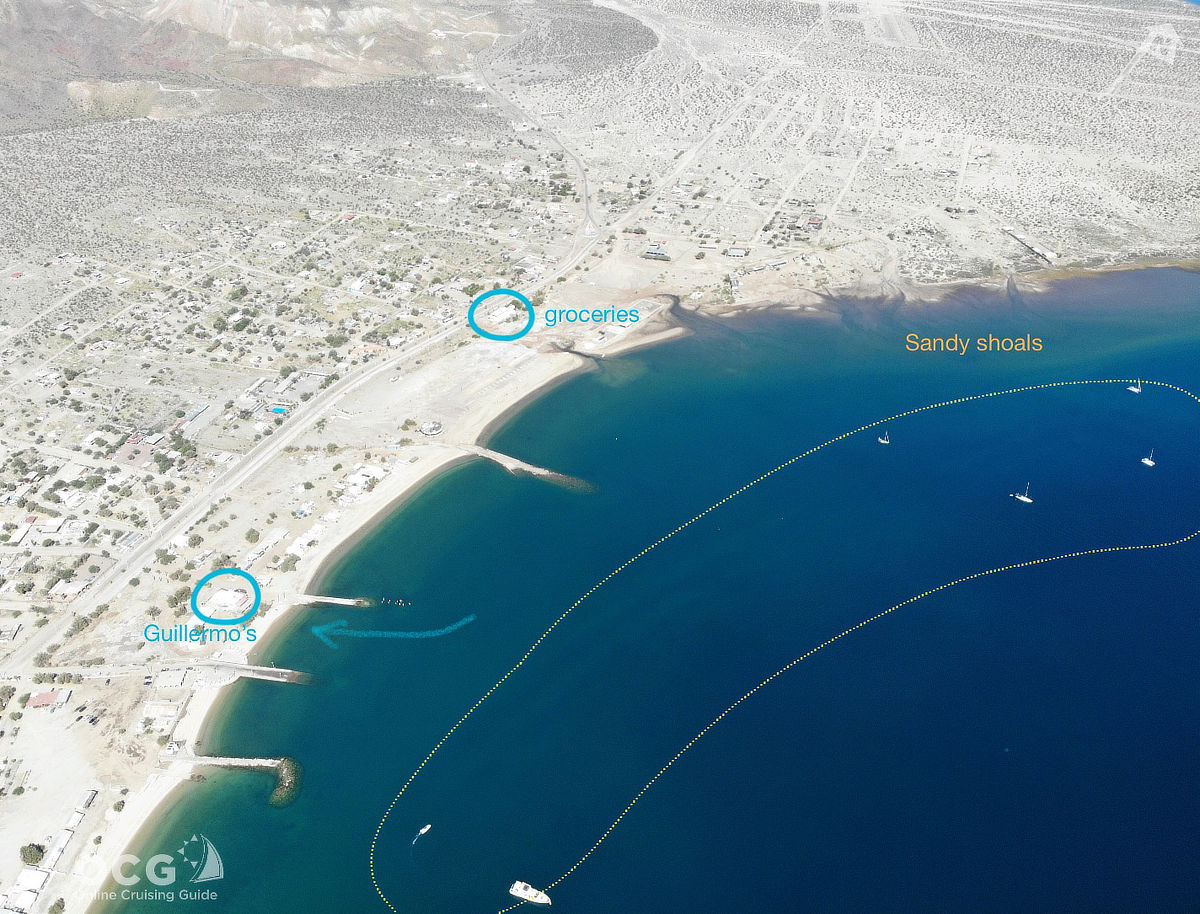
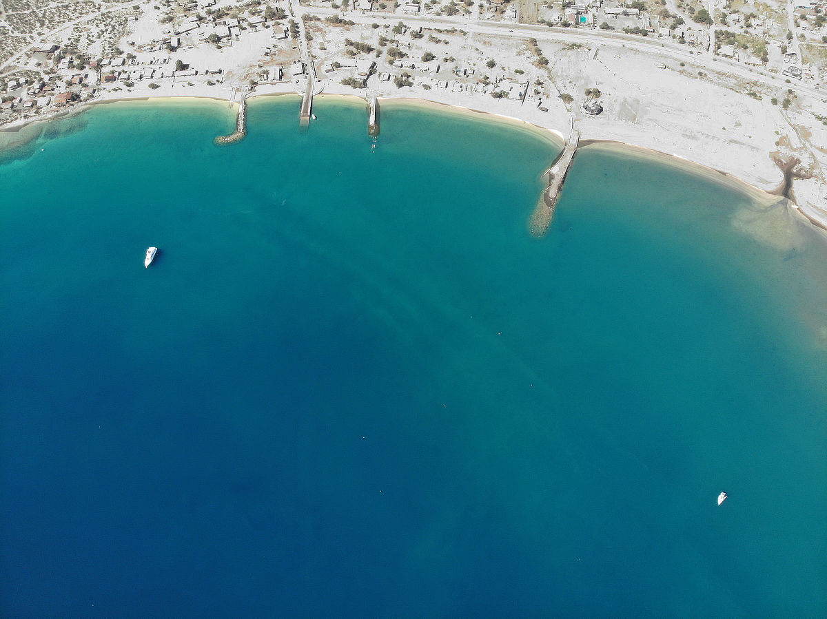
There are three areas to anchor here, based on the projected weather and your needs. If you’re looking for quick access to town and protection from a fierce westerly (rare, but annoying), you can anchor anywhere along the waterfront north of the launch ramp. If you’re looking for a bit more quiet and solitude, and better protection from the more common daily SE breezes, you can tuck in behind the sand spit. Also an excellent place to run the dog, if you have one. The third spot is the middle ground anywhere in between. All spots are reported as sand bottom with good holding. Depths will range from just 15-20 feet in front of the village and nearest the spit, to 20-35 feet in the middle ground. The bottom is a series of sand bars and holes, so depths will vary. DO NOT try to get close to the north shore of the bay unless you are very shallow draft, as this area shoals very quickly and the large tide swing here will yield a midnight surprise.
Click gallery above title for more images
Ashore:
Just about everything you could want, as long as that doesn’t include cell service, high-speed internet, or super fresh produce. Satellite inter webs are available at many of the restaurants (and Star Link is proliferating). Most cruisers land dinghies at either Guillermo’s beach in front of the restaurant just north of the launch ramp (south of the bare pilings), or at the long beach nearest to Isla Market, just 1/4 mile north.
Don’t Miss:
Gather your tribe and beach the dinghies on the inside of the sand spit in the late afternoon, walk about 3/4 mile north along the beach to Camp Archelon, turn off the beach and find the small cafe/restaurant. They have a fairly modern menu of well-executed dishes, the best selection of craft beers in BdLA, and rippin’ air conditioning. Settle in for a night of catch up and reverie, followed buy a moonlit stumble along the beach back to your dinghies. Shoes or solid sandals recommended by those who have recently stubbed toes along this beach in the dark.
 Is this your place?
Claim Now!
Claim Now!
Is this your place?
Claim Now!
Claim Now!
![]() See something amiss?
Report Now!
See something amiss?
Report Now!

-
$99.00
/ Per Listing
-
Duration : 365 days
Lorem ipsum dolor sit amet, lorem sit.
- Map Display
- Contact Display
- Image Gallery
- Video
- Tagline Text
- Location
- Website
- Social Links
- FAQ
- Price Range
- Tags/Keywords
- Business Hours
- Menu
- Announcement
- Deals-Offers-Discounts
- Hide competitors Ads
- Events
- Lead Form
Claim request is processed after verification..