Location and Moorage: Channel Islands; four nights at various anchorages
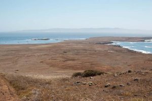
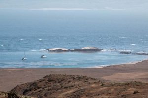
Around here, “the islands” or “our islands” are the northern Channel Islands, which consist of Anacapa, Santa Cruz, Santa Rosa, and San Miguel. All are part of the National Park System (as is Santa Barbara Island a bit to the south), and a large portion of Santa Cruz is owned and managed by The Nature Conservancy. The Channel Islands also include Santa Catalina, San Nicholas, and San Clemente, but they’re kind of the ugly step children of the group. None are nearly as developed as Catalina, which happens to be where we spent most of our time — for better or for worse, it was a lot of fun. Anyway, this post is about the northern islands.
Anacapa
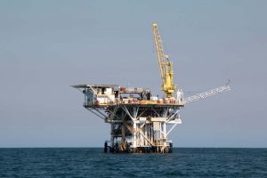
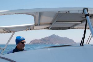
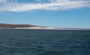
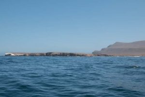
We bugged out of the CI Harbor around 0800; we decided not to try to make landfall on Anacapa, as we were told there’s not much to see unless you’re diving, so instead tacked up the north side of the island to take it in. There’s a lighthouse on the east end and a few buildings, but like the other CIs, there is little in the way of development — just remnants of earlier times when various kinds of livestock were run on most of the islands, that is, non-native plant species now dominate the vegetation. They are stark, arid, beautiful landscapes. There are several oil derricks, lots of fishing and lots of diving off these islands, and lots and lots of birds.
Santa Cruz Island
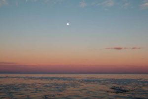
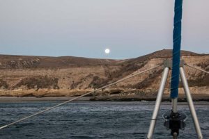
After crossing the very innocuous Anacapa Passage to the east end of Santa Cruz Island, we checked out Smugglers and settled in inside the Yellowbank Anchorage. Because there was a south swell running, Rand tried to catch some fast moving waves, but it was high-ish tide so the surf was a bit swamped. At least he got some time in the water and some paddle practice. It was a gorgeous night — the south swell kept us lolling around, but the moon was full and glorious.
The next morning, we decided to check out an anchorage called Scorpion on the north shore of the island, but as soon as we turned the corner, we ran smack into 25-30 kts of west/northwest wind. Scorpion didn’t provide much protection, and was dang cold, so we turned tail and headed back to the south side and dropped the hook in Coches Prietos. We were all by ourselves. It was perfect. Well, except for the building wind chop and swell.
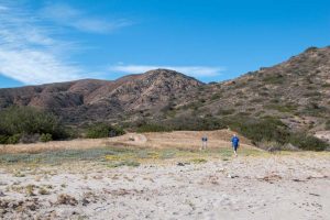
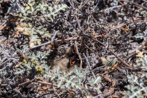
We contemplated bailing out and heading to the Northwest Anchorage on Santa Rosa Island, but thought better of it and settled in. Knowing we’d be sticking around, we went ashore for a hike (Jody got dumped from the dinghy while poorly executing a beach landing) and hoped to spot an island fox (see photo) and some other endangered species. No such luck. After the hike and a scramble up the bluff for some pics of Free Luff, we had a successful departure from the beach. Back at da boat, we jumped in the water (it was coooooold!) to clean up, then Rand made a yummy curry soup to warm us up. What a fabulous day.
Santa Rosa Island
This was the day we would head to the NW Anchorage on Santa Rosa. This turned out to be the real shakedown day. Based on the Predict Wind models, we were anticipating spicy sailing conditions, so we set left Coches relatively early with a single-reefed main.
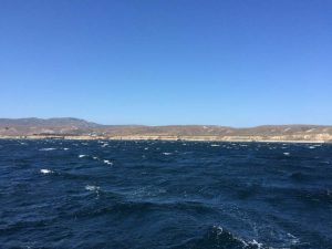
We were headed around the southwest part of Santa Cruz Island, and then northwest toward the big bight at Santa Rosa, basically directly into the teeth of a very naughty breeze. This meant that initially we would be protected in the lee of Santa Cruz, but as we sailed southeast a bit further, we’d get into the wind lane spewing down between SCI and Santa Rosa. We decided we’d tack each time the apparent wind hit 20 kts as we got further from Santa Cruz (where it was more exposed) and at 12 kts as we got closer to the island again; this seemed like a prudent tactic, but we knew it wouldn’t last long. Soon the wind was blowing a sustained 20 kts and building, building, building. As we got closer and closer to the Santa Cruz Channel (the open stretch of water that separates Santa Cruz and Santa Rosa, commonly referred to as the toilet bowl because of the unseemly conditions), the wind chop was steep at super short periods. Not comfortable; we reefed the genny.
Within minutes, we started to see sustained 23-25 kts; we put in a second reef in the main. Then we were seeing 28-30+ kts; we rolled up the genny and put the third and last reef in the main and began motorsailing into the waves. This is when, through Jody’s eyes, the swell seemed to be at least 20 feet and Free Luff was going to get swallowed whole. A cheek block on the boom (one used to control the lazy jacks) exploded and the noise of the halyard slapping and the thrum of the sails was deafening. This is also when Jody had to remind herself to breathe and not burst into tears. (Incidentally, the swells were NOT 20 feet — maybe 5, 6 tops.) After 2 long hours of this, we were quietly in the lee of Santa Rosa Island and assessing da boat, ourselves, and our options. There were certainly places on the south side of Santa Rosa that we could have explored, but we were intent on getting to the NW Anchorage because it was a good jumping off point to get to Santa Barbara the next day, plus we were convinced the 400 foot high hills would protect us from the gnarly winds we were just in. But to get there, we knew we’d have to get out in the frothy stuff again. We decided to go for it, but we’d do it under bare poles (no sails).
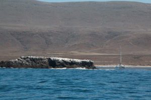
Going up the east side, it was smooth and comfortable, but we could see the whitecaps just to the north — we were mentally prepared — well, we thought we were. As we came around to the north side of the island, we were right back in the 25-35 kts of wind and our little twin 18-hp Yanmars were working hard. The situation was a bit dicey because Free Luff is relatively light, doesn’t go upwind very well especially in a super choppy sea state, and because of the wind direction, Skunk Point of Santa Rosa Island (which we had just rounded) quickly became a bit of what is referred to as a lee shore — that is, a shore lying to leeward of da boat and onto which da boat could be blown in foul weather, which we were experiencing.
Well, the situation got even more dicey when the port engine alarm sounded — this means, the engine had died. Ah! Ok, now we’re starting to think our decision was not prudent. MacGyver went down to check the engine. Nothing evident. We fired it up again. It ran for a few minutes at low RPMs, but as soon as we goosed it, it died. Damn. Ok, it was time to raise the main (triple reefed) — this would at least give us a bit more control, if not a bit more power, and an exit strategy if the other engine went down too. We started the port engine again and ran it at low RPMs, just to give starboard a little bit of help. It kept dying. Crap. MacGyver ascertained that it was a fuel issue — maybe a filter, maybe a blockage in a fuel line or at the intake inside the tank — whatever it is was had to wait until we were settled in somewhere, but where? We could either continue to hammer our way to our original destination at the sprightly clip of about 1.2 kts, or turn around and head back to the south side of the island. But it was getting late and we effectively only had one engine…hmmm.
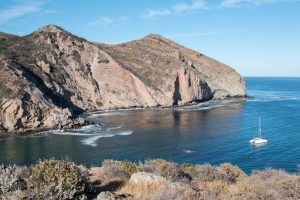
Ok, NW Anchorage it is — it was open and easy to leave, even if we had no power, and at least it would be protected. Not. As we approached the anchorage, it was still blowing in the high teens and gusting to 30 kts. What the…? We decided that this was our only real option, so we found a kelp-free zone and put out a butt-load of anchor chain. The anchor quickly held fast and we were “home,” and safe. Rand consulted Nigel and confirmed what he thought was the problem with the engine (restricted fuel line, most likely from some gunk clogging the intake in the bottom of the tank) and we went about fixing it. He used our 12V Sevylor air compressor that we use to inflate our stand up paddle boards to blow out the fuel lines and voila! The engine purred like a kitten. We were back in business, at least for now. Sleep eventually came that night, but the winds never really eased (we saw 35+ tucked in only a couple hundred yards behind a 60 foot bluff and huge hills), so it was noisy and a little nerve-wracking, but we had confidence in our ground tackle (anchor/chain) and we weren’t disappointed.
According to Predict Wind, we were looking at a similar forecast for our passage to Santa Barbara, except there was a little break in the gale around mid-morning AND it would be more of a reach/downwind sail — that is, much more comfortable than an upwind ass-kicking. As we prepared to depart, Rum Doxy hailed us and found out about the conditions we were experiencing in the NW Anchorage and thought better of their plan (i.e., they bailed on Santa Rosa). We said our see-ya-laters and continued to make preparations to weigh anchor and set sail.
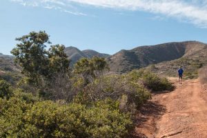
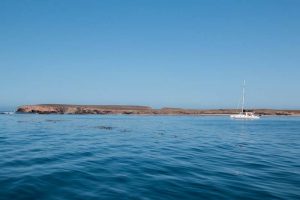
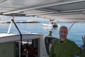
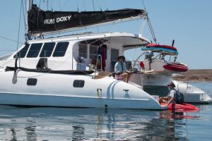
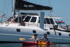
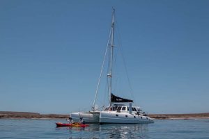
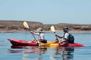
Just as we were about to leave, Rum Doxy hailed us again and said they were tucked in on the northwest side of Santa Cruz in Forney Cove protected by Fraser Point — and experiencing “3 knots of wind, gusting to 6.” They implored us to join them. We did. And wow are we happy we did. It is truly astounding — the highly localized wind and current conditions. Predict Wind could not hold a candle to local knowledge — Mike and Annette have been sailing these waters for nearly 40 years and easily could have told us we would not be protected from a northwest gale in the Northwest Anchorage. Sheesh! And they knew Forney Cove would be a perfect little reprieve for us. It was fantastic. We went for a long hike ashore, saw gorgeous waters and landscapes, and enjoyed fabulous company. We shared dinner and spent a quiet night in the cove, and ended up motoring all the way to Santa Barbara the next day. There was no wind. None. Go figure.
The Channel Islands — what did we learn about ourselves and/or observations: Consulting a cruising guide or inquiring more specifically with local sailors about local conditions would have been helpful prior to setting off for a place with no internet access. Stay calm and breathe when the s*&t seems to be going down (Jody). Trust your boat and your partner.
- One of many oil derricks
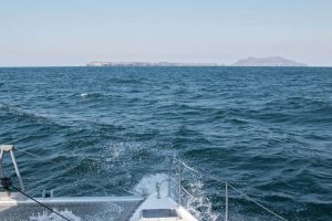
- Working our way to Anacapa
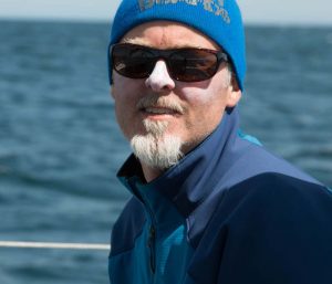
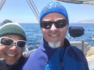
- Chilly but content
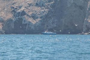
- Dive boat off Anacapa
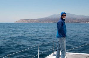
- To Santa Cruz Island
- Chilly but content, too
- On approach to Yellowbank
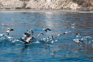
- Foraging frenzy
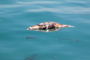
- Part of life
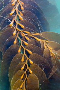
- Pretty kelp
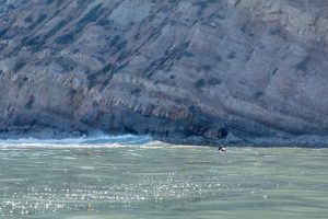
- The lone surfer
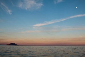
- Anacapa at sunset
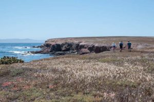
- Hike on TNC lands on Santa Cruz
- Coaches Prietos
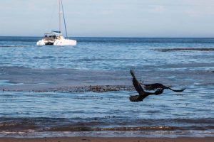
- Ravens, ravens everywhere
- Free Luff
- Sunset at Coches
- Skunk Point on Santa Rosa
- The Northwest Anchorage on Santa Rosa
- Running back to Santa Cruz
- Fraser Point, Santa Cruz
- On approach to Forney Cove
- Rum Doxy!
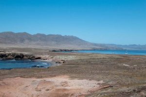
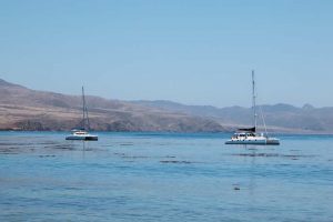
- Forney Cove — super serene
- Buddy boat
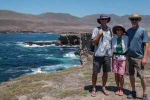
- Mike and Annette
- A kayak to shore
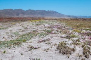
- A leisurely hike ashore Santa Cruz
- Are you my mother?
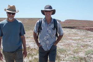
- Mike and Annette of S/V Rum Doxy
- Calm inside the cove; toilet bowl outside
